
He was known as Koo-Koo-Sint (the man who looks at stars) by First Nations. David Thompson, trader, explorer, surveyor and mapmaker, became a highly renowned land geographer. Some say the best in the world. After studying his maps and how he managed to carry out his work, I tend to agree.
I’ve had the opportunity to apply Thompson’s work to furthering our history. In particular finding a few of the many fur trade posts in western Canada still lost in the wilderness. Or beneath our very noses.
This is my story of following in the shadows of these great ones. In this post I’ll focus on David Thompson. Perhaps in another post, Peter Fidler.

David Thompson
Born in Westminster, Middlesex, England, in 1770, to Welsh immigrants, Thompson joined the Hudson’s Bay Company at the age of 14. He studied surveying with the Company and was soon exploring uncharted territory in the Canadian Northwest. At age seventeen, he penetrated west as far as the present-day Calgary.
In 1798 Thompson joined the North West Company and devoted all his time mapping and exploring. He comes by his reputation as a great land surveyor and cartographer honestly. His maps were accurate, and his exploits covered over 80,000 kilometers by foot, horseback, or canoe. All previous maps of western America paled in comparison to his maps.

In 1804, David Thompson visited Fort Vermilion, then called LaFleur’s Post, by the North West Company. We know this from his daily journal. Here is an excerpt from his journal and arrival at the post. Good luck reading it. It may strain your eyes.

In Search of LaFleur’s Post (Fort Vermilion I)
Before 1998 Fort Vermilion was still lost in the northern Alberta wilderness. In 1968 John Nicks (Provincial Museum of Alberta) and Karlis Karklins (Parks Canada) searched for the post but did not find it.
In 1998 a few members of the community of Fort Vermilion asked me if I would try to find the first Fort Vermilion. It was important to them because 1998 marked its 200 birthday.
I accepted their invitation. I’d found Boyer’s Post a decade ago. A post which too had been swallowed up by the northern boreal forest and lost for 200 years. This I believed would be much easier than finding Boyer’s post whose location was only vaguely alluded to by the occasional passing explorer.


The search for these long forgotten places is often difficult. The first problem with the Fort Vermilion site was its remoteness. There were no roads near where we thought it might be, and the bush was dense along the lower terraces of the Peace River. Ground surface visibility was bad.

So, where was LaFleur’s post? Were there any records that talked about it? Did the Hudson’s Bay Company rebuild the post when the two companies amalgamated, or, did they move it in 1821?
The earliest known record of the location of LaFleur’s post comes from David Thompson’s 1804 journals. Thompson stated the post was on the left bank of the river 17 miles downriver from the mouth of the Keg River. Those seem like pretty good details until you begin to think about them a little more. For instance, what does left bank mean? As you travel upriver, or downriver? Thompson didn’t elaborate. And then, was the Keg River the same one as today’s Keg River? Finally, what did 17 miles downriver mean? Were those river miles, or, were those a direct line to the fort from the mouth of the Keg River?
There was no way of determining on which side of the river bank the fort was located from Thompson’s left bank remark. Best to check both banks. In fact Nicks and Karklins had already checked the east bank in the general vicinity, and found nothing. Then there was the Keg River. I assumed that the historic and present names were the same. The reason for this was that Thompson noted other important landmarks in his journals, such as Wolverine Point (Carcajou) which still exists today on the Peace River.
Next was the distance of 17 miles. I examined both Thompson’s journals and other documents and found that these were river miles. Thompson used river track surveys, where he took a compass bearing and a distance to a point in the river where it turned and then repeated it as he traveled on the river. But, how accurate were these readings?
“Co. N12 E1m NE3/4m” (David Thompson’s notebook, May 3, 1804, Fort Vermilion)

Whatever methods Thompson used, his maps for the period were very accurate.

When I saw Thompson’s North Saskatchewan River map I realized there might be a similar Peace River map, marking all the forts along it. I quickly found Thompson’s Peace River map published in his narrative (1916). Much to my dismay this is what it looked like.

At the Royal Alberta museum we had a full sized reproduction of David Thompson’s original ‘territories’ map, including the Peace River. When I looked at that map, this is what I saw.

And, low and behold, there was Fort Vermilion on the west bank roughly where Thompson described it in his journals.
The lesson to be learned from this was to always go back to the original documents whenever possible. One of the rules of doing history and dealing with historic documents.
………………………….
Next we needed a fine water craft to get near the location where we thought the fort might be located. Below is a photograph of the official research vessel, known locally as the Barge, owned and operated by Mike Mihaly, High Level Alberta.


In October, 1998, two-hundred years after it was built we (Al and Marilee Toews, Fort Vermilion, and Mike Mihaly, High Level, Alberta) anchored about 500 metres from where after an afternoon of walking and stumbling through the bush we eventually found the long lost Fort Vermilion I. It was truly a day to be remembered for everyone.
As I later reflected after examining Colin Campbell’s (clerk for the Hudson’s Bay Company) journals at Fort Vermilion, we were fortunate to have such an astute observer as David Thompson. Or this fort might still be lost to us. Campbell spent nearly ten years at Fort Vermilion, keeping a journal for most of those years. There is not a single entry that would help identify the location of this and other forts along the river.
A Few Final Comments on David Thompson’s Maps and Journals
I am always amazed and somewhat in awe of how one man, using very simple, rudimentary instruments could so accurately map the Canadian West. In a canoe undergoing tremendous hardships and obstacles. Surely he deserves more recognition than a five cent postage stamp. Even the Canadian loon gets more monetary recognition.
As it turned out Thompson’s latitude reckonings (obtained by measuring the angle of the sun to the horizon at midday, or taking angle of the north star to the horizon with a sextant) were 11 seconds, or 220 metres off for the location of Fort Vermilion I. His estimation of longitude at Fort Vermilion were over 35 kilometres off. Not surprising, since you needed extremely accurate watches (one set at mean Greenwich time and one set locally to estimate longitude accurately). It would be later when Captain James Cook circumnavigated the globe mapping it, that more accurate time-pieces were available, thus producing more accurate maps.

“…brass Sextant of ten inches radius, an achromatic Telescope of high power for observing the Satellites of Jupiter and other phenomena, one of the same construction for common use, Parallel glasses and quiksilver horizon for double altitudes; Compass, Thermometer, and other requisite instruments, which I was in the constant practice of using in clear weather for observations on the Sun , Moon, Planets and Stars…” (David Thompson)


………………….
References
Thompson, David, 1916. David Thompson’s Narratives of His Explorations in Western America 1784 – 1812. The Champlain Society. Toronto.
This account brings forth many fine memories of your fur trade post searches and other forays searching for clues about the early people and their activities along the Peace River. We eagerly await another visit and possibly more field work. 2021 is two hundred years from the amalgamation of the NWC and the HBC. This resulted in Fort Vermilion’s continuance as an important provisions post serving travellers and traders along the Peace River at its La Fleur’s Post site and later Fort Vermilion II. You are always welcome!
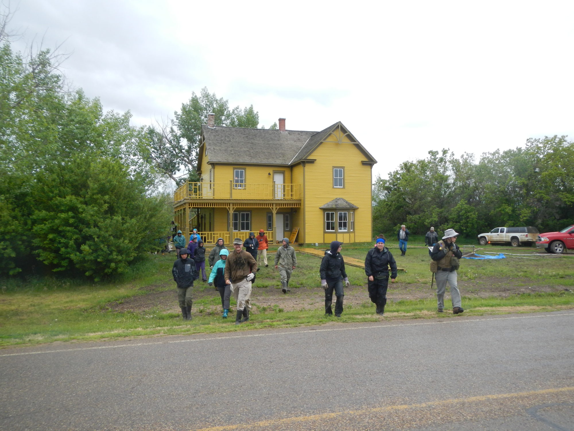
The Old Bay House is getting close to occupancy and room are being prepared in “The Factor’s Inn” just for you and others wanting to enjoy ‘Fort Vermilion: Where Alberta Began’.
Marilee and Al
Think what great stuff I could write sitting in the top room of the Bay House overlooking the Peace River. However I’m sitting here in Edmonton thinking what I would like to write about the 200th anniversary of the joining of the HBC and NWC. Perhaps a major quarrel between those two rivals. However, I think it’s time to write a piece on the Bay House. HP
Hey there Heinz, another awesome blog and thank you for them.
I remember from statistics (MANY moon ago) that most peoples’ notion of life expectancy is skewed by the fact that many deaths factored in occurred before the age of 5 (-ish), which lowered the over-all age. You mention this, which was good to see as I don’t always remember accurately. So, I have a question: How does the average age of the labourers’ retirement compare to that of the company officers? And, does that mean the labourers were living similarly long lives, but dying after they left the company meaning that their ages of death weren’t captured by your data? (I hope that question is clear.)
Thanks Roger. Did you read my story: Life and Death. Human Mortality in the 18th and 19th Century Canadian Fur Trade. Posted last year. In there the average life of the labourers was one year less than the officers. Not statically significant from the sample I took. The labourers, despite their harder work, seemed to have done fairly well. I don’t think the data are skewed. The ages of death of both officers and labourers was still recorded even after they retired. Alive.
Thanks. You answered exactly the question I was asking. I like that in a response. I thought I was leaving that question on the Life and Death page. Just shows to go ya…I’m not really from this world of electronics. ;^)