
Sometimes the Meanings of Place Names Have a Surprising History
Place names in Canada usually say something about geography (Two-Hills, Alberta), political or ethnic affiliations (Shackleton, Saskatchewan), events (Cut Knife, Saskatchewan), or plants and animals (Frog Lake, Alberta). Or sometimes just the name of the first local postmaster. In my last post I talked about the meaning and origins of Cabri, Saskatchewan. In this post I examine the meaning of Fort Vermilion, Alberta. At first glance the name seems straightforward, but with further research, is also a bit confusing. Perhaps even a little misleading.
I spent over thirty years doing research in this area. Like everyone else, I assumed that Fort Vermilion referred to the ochre sources in the area. But, my latest bit of research suggests otherwise.
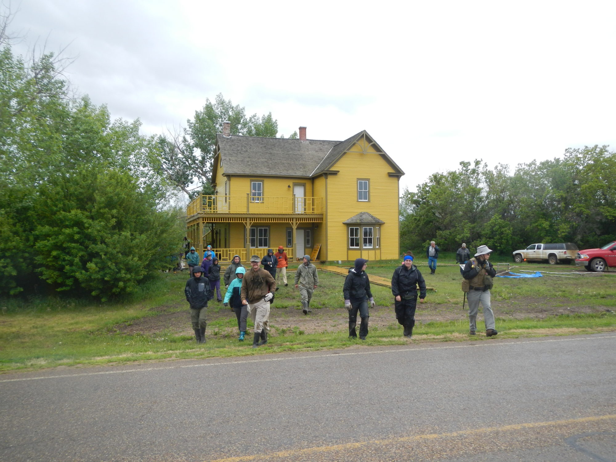
Fort Vermilion, Alberta
When talking to the locals and checking out the web site, Fort Vermilion got its name from, “…the vermilion coloured clays lining the river banks.” When you read that phrase carefully, it suggests that at this particular place, Fort Vermilion, there are red clays containing enough iron oxide to make an ochre the same color as vermilion. Clearly the community was not named after vermilion per se, only the color of vermilion. Before we go any further, vermilion and ochre are different materials:
Vermilion – a brilliant red pigment made from cinnabar.

Ochre – an earthy pigment containing ferric oxide, typically in clay, varying from light yellow to brown or red.

Cinnabar – a mineral containing toxic mercury sulfide (HgS). It is a brilliant red color. Humans used it as a pigment in paint for thousands of years in many parts of the world. Until they realized it was highly toxic.

A Brief History of Fort Vermilion
In 1788 the northwest Company’s Charles Boyer, established a post near the confluence of the Boyer and Peace Rivers. The post only lasted four years and then the Company moved downriver and established Aspen House near La Crete, Alberta. By 1798 they were on the move again and built LaFleur’s Post even further downriver.
In 1821 the Northwest Company and the Hudson’s Bay Company amalgamated becoming the Hudson’s Bay Company. Colin Campbell became the clerk at the original LaFleur’s fort but changed the name to Fort Vermilion. Initially I thought he was referring to the reddish colored clays in the area. But now I wonder. In 1830, the Hudson’s Bay Company abandoned the post and built a new one in the present community of Fort Vermilion.

Problems of location
The first obvious problem is that the original name of Fort Vermilion refers to a different fort that was located in a different place. However, rest assured residents of Fort Vermilion, there are clay-like deposits with iron content near your community, probably to make ochre. No need to rush out and change the name just yet. (Perhaps later, when you read the rest of this post).

Problems of Meaning
But, was Colin Campbell really referring to ochre which resembled the color of vermilion? One day I was reading the Fort Vermilion journals, again (for the hundredth time), researching a novel I am working on (to be published in the not-so-near future). And I ran across these references: October 21, 1841: “Most Indians equipped: Preparing for a Grand Dance before leaving. Give them the usual allowance tobacco & paint or vermilion…” (HBC Fort Vermilion Journal). Then again In 1844: August 20th, 1844: “…although the Sabbath Indians have their animal dance for which I allowed them tobacco & vermilion.”
Was Campbell referring to real vermilion or the local ochre? I checked the earlier fort inventory lists and ‘vermilion’ is listed in the goods coming in from Hudson Bay and Europe. Its likely the real thing – vermilion. Now that folks is a little scary because if it was truly vermilion and First Nations applied it to their faces or arms, then it would have had some nasty effects. Vermilion is quite toxic.
In an earlier journal reference I read: “Beaver Indians frightened of devils, strangers, can’t sleep & very uneasy.” (August 23, 1840, HBC Journal) I can’t, in all honesty, say that the paint was causing these problems, but the description is suggestive of some classic symptoms of mercury poisoning.
Before you go on a rant about this being yet another example of the mistreatment of Canada’s Indigenous people, let’s put this topic into proper historical perspective. In the 19th century no one really knew how toxic mercury was. Or vermilion. And the proof of their ignorance? They used it in paints for centuries. They also used lead and mercury in the beaver felt hat making process, exposing themselves to this poison. And, as a hatter if you were exposed long enough to this stuff, you became ‘mad as a hatter.’ And the gentlemen in Europe wore those mercury, lead-laced hats on their heads! And lastly, why would you poison the people who you are trading with?

What Does the Archaeology Say?
Occasionally, when the moon and stars are in perfect alignment, the archaeological record can act as an independent source of verification of historical facts. In 2016, while excavating at the 1798-1830 LaFleur’s/Vermilion post, we got lucky. Very lucky. We came across this brightly colored red stain in one of the old building cellars. What is this stuff? Ochre or Vermilion? To me, just from looking at the color, it looks more like vermilion than ochre. Time will tell. We are in the process of analyzing this goo to see what it really is.

If you enjoy learning about the archaeology of the Alberta fur trade, explore the human side of the era in my new fiction collection, Tales of the Canadian Fur Trade. Available now as an ebook and a print-on-demand paperback
Some Final Thoughts About the Meaning of Place
Over the years I have read many historic documents. I am fully aware of the baggage they sometimes carry: Opinionated, biased, factually inaccurate, etc. Some topics are worse than others. When I think about the naming of place, I am still uncertain what to believe. After looking at many names in Canada, it doesn’t seem like a spur of the moment kind of thing – to name a place. It usually means something related to the area. Or perhaps, no one could think of one, so the postmaster’s last name have to do.
What was Colin Campbell thinking when he renamed his new fort ‘Vermilion’? Honestly, I’m not sure. Was it because the HBC was trading vermilion to the Natives? Was it because he saw the Natives wearing paint that looked like vermilion? Was it because he saw outcrops along the river banks that looked like vermilion? Have I missed any other possibilities? Probably. But one thing is certain. The color red influenced his decision. Understanding names is never a simple matter.
PS: I’m just about done with names and places – for now. Maybe I’ll continue with poisons and health for a while. Stay tuned.


